sly_karma
Crew Member
On this year's road trips, I've been experimenting with using Google Maps rather than the Ford nav system. Some of the software updates early in the year mentioned improvements to Android Auto integration, and it seems like they have done just that. Entering a destination into Maps adds the distance to go below the Lightning's range display, and updates it in real time, same as the Ford nav does. You can tell it's connected into the vehicle's central management system, because it continues to update even when there is no wireless data signal.
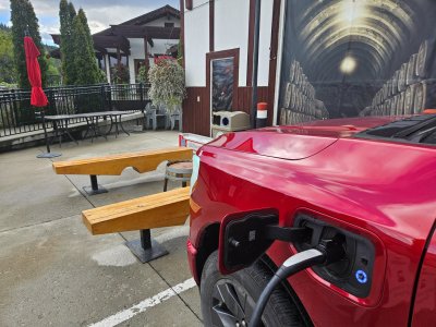
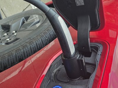
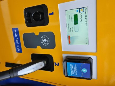
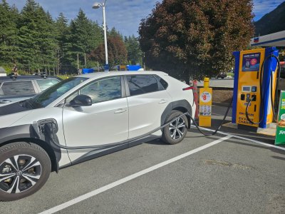
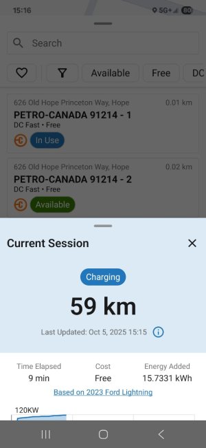
One thing I wasn't sure would happen was preconditioning the battery ready for optimal DC fast charging, but I'm satisfied it works now - I'm seeing really high charge rates (>150 kW) in the first few minutes after plugging in.
Ford nav search function is sloppy and clunky compared to google. It's way easier to search for and find a charger or other destination. The only odd thing is you can't explore routes and chargers ahead of time on the phone, save it and send to the truck. I map it out on ABRP and then type it in to the truck right before departure.
Google accurately predicts battery percentage on arrival because it has direct access to vehicle data as the drive progresses.
I know when Ford dropped all mapping functions from the Fordpass app, they said they were working with Google to replace it. It's good to see how much it has progressed.

