Best of 2008 Photo Memories ( ah ha !!! )

Hey Bruce, I wish you all the best in the New Year and I hope we can get out and slay a couple.............:D:D beverages also! SS

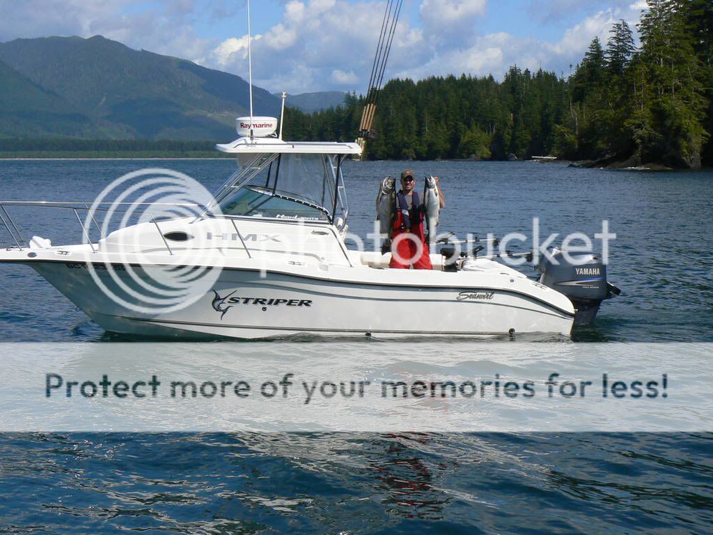
seaswirlstiper.jpg
 
Hey FD, already there.......... have a great evening.... hope to hook up with your in the New Year......:D:DSS

seaswirlstiper.jpg
 
This one is for you FD!

The route itself is approximately 700 miles, but if I am right I traveled about 1642 miles in 10 days on this trip. I do know it was $5,004 US in fuel! :)

Route.jpg
 
quote:Originally posted by kelly

Photoshopped route. Just kidding. Be pretty awsome to run up the outside! Maybe one day

You're right... this one was created on MapSource and then automatically transposed to Google! The first trip up on the outside was in 1996, been loving it ever since! But not for the faint of heart, especially when the life rackets have to come out! :)
 
Here are a few from my past summer out west..


Mid April C.R. winter springs..

cambleriver08005.jpg

cambleriver08029.jpg


And how bout some nice prawns..

cambleriver08013.jpg

cambleriver08042.jpg


Sooke Aug, 08.


IMG_1583.jpg


IMG_1576.jpg


Thx for the help buddy..


IMG_1580.jpg


Sooke042.jpg


IMG_1021-1.jpg
 
Okay... I will post my favorite fishing pictures for 2008.

This is a trip I took my wife’s nephew, his dad and brother on. All say they are experienced boaters! And these are actual pictures of my instruments and the now infamous area known to all, as “Bill’s Beach”! :)

The first morning of fishing the crew is telling me everything is cool and they know where they are and where we are going. I am okay with this as we had gone on a shake down the day before and I went through this area three times with them pointing out the buoys… check the track in the first picture! So, take me there! I watched for a few minutes and they were doing well with two on the bow and Bill at the helm, so I decided to go down below and make some coffee. When I came back up the first picture is what I saw! And I yelled, “ANYONE SEE THE BUOYS?” The response from the helm was great and I quote, “What buoys?”

DSC01262.jpg


I grabbed the helm and gave it a full port! Just in time for the boat to settle on a nice sandy bottom on an outgoing tide. I just turned and said, “Welcome to Bill’s beach!” Switched my sounder to tide predictions and saw this:

DSC01264.jpg


They all looked at me kind of funny and ask what could they do. My response, “You guys can do whatever you want, to include hiking back to the cabin! Just don't get caught out there when the tide comes in! I am going down, get a cup of coffee and watch a movie. We’re going to be here for a while.” I ended up taking a nap and when it lightened up a bit, this is what I saw:

DSC01263.jpg


I took this picture the next morning. We were about 25 meters to the left of the buoy in the picture.

DSC01275.jpg


Needless to say... none of them wanted to drive the boat through this channel after this, especially in the dark! BTW… they don’t know how lucky we were… the other side of this channel is full of rocks!
 
thanks for that pull back to reality charlie! 5k in fuel now makes my trailering to gold river and running to esperanza look like a real bargin. stickin' with the plan.
 
quote:Originally posted by reelfast

thanks for that pull back to reality charlie! 5k in fuel now makes my trailering to gold river and running to esperanza look like a real bargin. stickin' with the plan.

The $5k in fuel was including all the running around and sightseeing! The actual round trip is approximately 550 nautical / 634 statute miles. The cost is in direct proportion with the cost of fuel and burn rate... I use about a gallon per nautical mile on plane! This year fuel averaged about $5 US = $2,750. Usual cost is closer half that! :(

It is a trip of a lifetime! :)
 
Happy New Year all! I'm looking forward to the 2009 fishing season. Looks like I got my son hooked this past year. Here's a fish from our last trip in 2008.

AreallyBIGfish.jpg


Cheers Seagal
 
Hey Charlie, I was just surfing Google Earth up around Esperanza Inlet and actually found the same pic of Wrong Side of the Bouy you posted. Thought that was pretty cool, it was within 30 minutes of reading this thread lol.

Lat: 49°48'38.26"N Long: 126°58'28.00"W for anyone else that wants to see :)
 
Back
Top