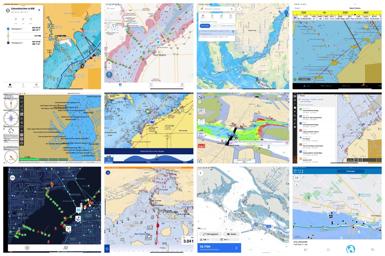
Frustrating and stupid what has happened to the Navionics Chart Viewer - never liked Garmin!

I looked at the ones listed in the link above. Most are very basic unless you pay.
DeepZoom is chart viewer/route planner that is free with lots of other info (tides, current, weather, etc.) and it does route planning and measures distances (which is key for my needs).
One big limitation though is that it uses US NOAA maps (like many of these apps do) so the Canadian bathymetric coverage is limited on the west coast to offshore waters and none existent in the inside of Vancouver Island and there is tide, current info for US waters, and some Canadian locations.
Check it out here:
https://www.deepzoom.com/

